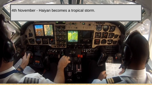


Pupils work in groups of three and they are allocated roles such as the crisis manager, information coordinator and the map and data analyst. The information coordinator needs to go to the laptop/computer in the room and watch the live pilot feed regarding the tropical storm events. The coordinator must then feedback the information to the data and map analyst who should annotate maps and resources with the information. The crisis manger then needs to make the necessary decisions. The information coordinator will then get a score for the decision from their teacher and then return to the pilot feed for the following event.
There is a video starter and image annotation plenary question.
The lesson was inspired by one of my favourite lessons about Montserrat by ‘Juicy Geography’.
Something went wrong, please try again later.
Great resource, similar to the Montserrat Volcano one if anyone else has used that.
Not used this yet but it looks very promising: engaging and purposeful
Report this resourceto let us know if it violates our terms and conditions.
Our customer service team will review your report and will be in touch.
£0.00