Bundle
 Quick View
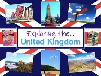
Exploring the United Kingdom - KS1/KS2
Exploring the UK is a Geography unit suitable for KS1 and lower KS2 (Y2-4).
The planning overview, topic title page and vocabulary page can be downloaded for free here. Lessons include:
L1 – Identifying the countries and capitals of the UK & Ireland (FREE)
L2 – Locating UK cities using compass directions
L3 – Identifying human & physical features of the UK
L4 – Investigating satellite photos of the UK
L5 – Comparing the city and the countryside
L6– Identifying famous features and characteristics of countries of the UK
L7 – Identifying flags of the United Kingdom
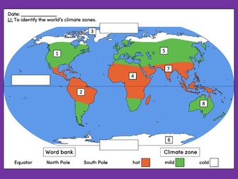
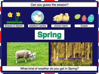
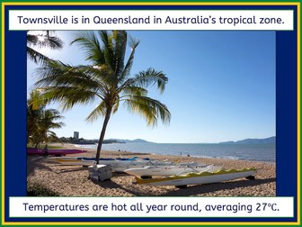
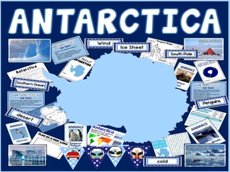
L8 – Identifying the four seasons of weather in the UK
Optional lesson – Identifying the countries and capital cities of Europe
Each lesson includes a presentation and differentiated activities/worksheets.
If you like this resource, we would appreciate a review! We will happily send you a free resource in return for a review or useful suggestions/feedback. Contact us at ed@teachitforward.co.uk.