

404Uploads
1037k+Views
668k+Downloads
Geography

Africa - Botswana - Gweta powerpoints & activities
A set of lessons investigating different aspects of Geography in Gweta / Botswana:
POWERPOINTS
AFRICA - LOCATION IN THE WORLD:
Looks at the location of Africa in relation to the UK, and the rest of the world. It names the continents and oceans of the world, and places in Africa the children may be familiar with. It ends with an interactive quiz on the continents and oceans.
BOTSWANA - LANDSCAPE:
Looks at the topography of Botswana, and different landforms - the Kalahari Desert, the Okavango Delta, the Makgadikgadi Pans; rivers, and savannah.
BOTSWANA - CLIMATE:
Explains how Botswana is located in the tropics, and how this affects the climate. It shows average minimum and maximum monthly temperatures, and average monthly rainfall totals
BOTSWANA - ENVIRONMENTAL ISSUES:
Looks at the main problems facing Botswana - drought and desertification, and the solutions underway.
BOTSWANA - PARKS AND RESERVES:
The Chobe National Park, the Nxai Pan National Park, and the Central Kalahari Game Reserve.
BOTSWANA - FACTS AND INFORMATION:
Looks at the history of Botswana, agriculture, food, school, crafts, and homes, plus fast facts about the flag, coat of arms, population, capital city, borders, currency, language, and religion.
GWETA AND BOTSWANA - NATURAL RESOURCES:
Investigates diamond mining, agriculture, and crafts, with a look at teh Gweta Natural Resources Trust and how they are supporting local villages.
GWETA - WHAT IS IT LIKE?:
Shows the location of Gweta, with lots of pictures to study.
WORKSHEETS (PDF)
AFRICA MIND MAP - to find out what the children already know
ROUTE PLANNING - a blank world map for the children to plan their route from home.
TEMPERATURE AND RAINFALL GRAPHS - For the children to study and answer questions.
TEMPERATURE AND RAINFALL GRIDS - For the children to convert into graphs.
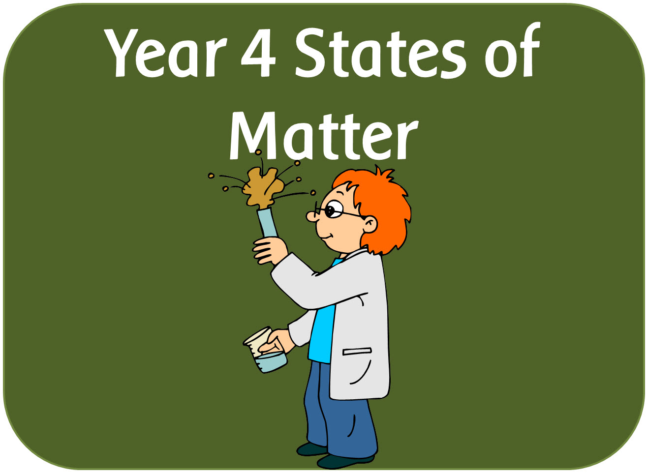
Year 4 Science States of Matter & the water cycle powerpoints, worksheets, activities & display pack
A set of IWB lessons, worksheets, activities, planning and display resources following the new science 2014 curriculum.
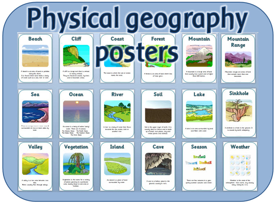
KS1 Physical Geography Vocabulary posters and headings display pack
A set of 18 vocabulary posters for KS1 Geography.
The vocabulary includes:
Beach, cliff, coast, forest, mountain, mountain range, sea, ocean, river, soil, lake, valley, vegetation, island, cave, sinkhole, weather and seasons